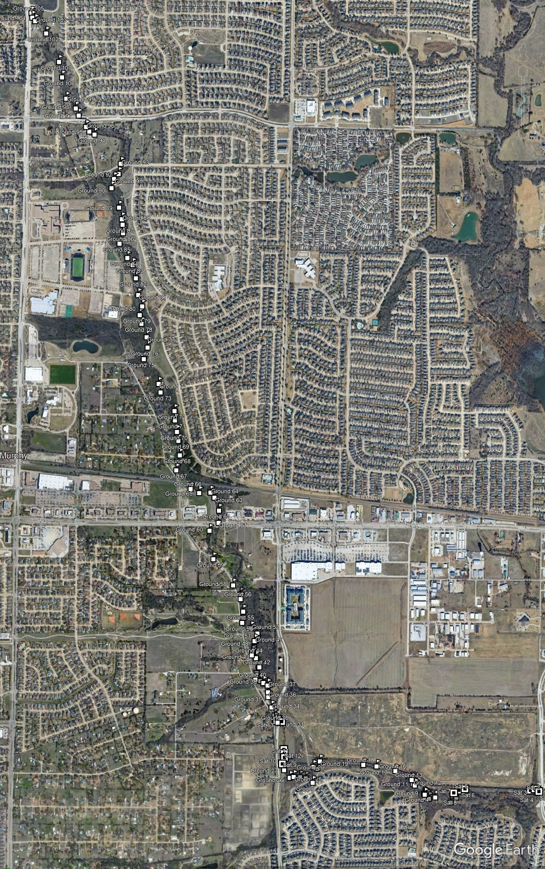
I have been working on a project to demonstrate the authority of Parker, TX to annex the section of Maxwell Creek that runs through its extraterritorial jurisdiction (ETJ), to prevent the creek from having treated wastewater dumped into it by a proposed sewage treatment plant off of N Murphy Road. More information about this situation can be found at https://savemaxwellcreek.com/, this page contains my findings and how they can be used by the city of Parker to prevent Maxwell Creek from being abused.
Firstly, municipalities in Texas have the authority to annex navigable streams that run through their ETJ without landowner consent. This authority is granted to municipalities in Texas by Texas Local Government Code Section 43.013. A stream is navigable if it is literally navigable by watercraft, but it is also legally navigable so far as it maintains an average width of 30 feet from the mouth up. This is called "navigable by statute," and is defined in Texas Natural Resources Code Section 20.001.
I have manually determined the average width of Maxwell Creek from the mouth up to the land in question, using satellite images or measurements taken from the ground with a rangefinder and a length of cord. A map of each measurement taken is available below, and below it is a spreadsheet containing each measurement and the formulas used to determine the average width from the creek's mouth. I've also included the handout I gave to the city council, and a waypoint file with the coordinates of each point.
If you've any questions, please email me at [email protected].
